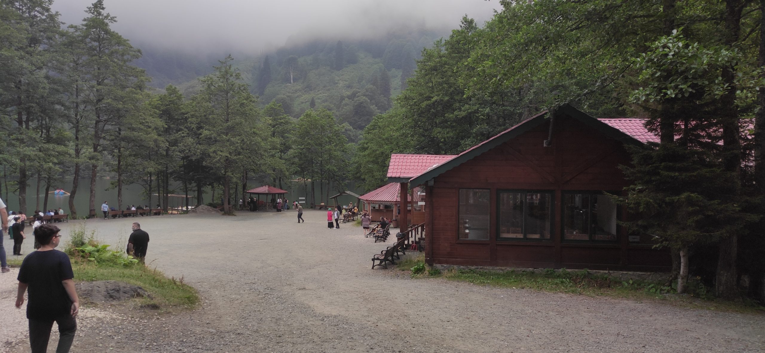
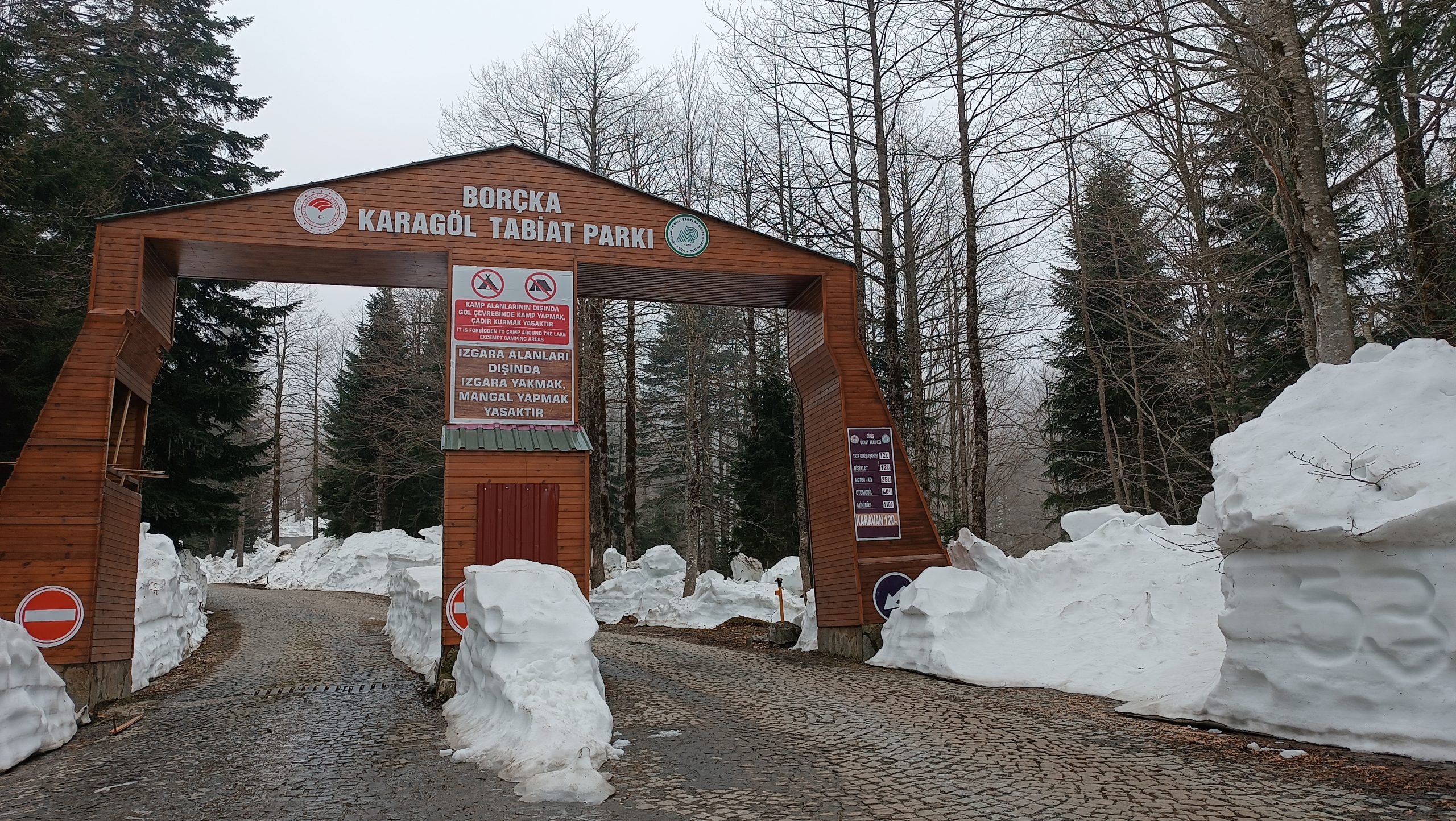
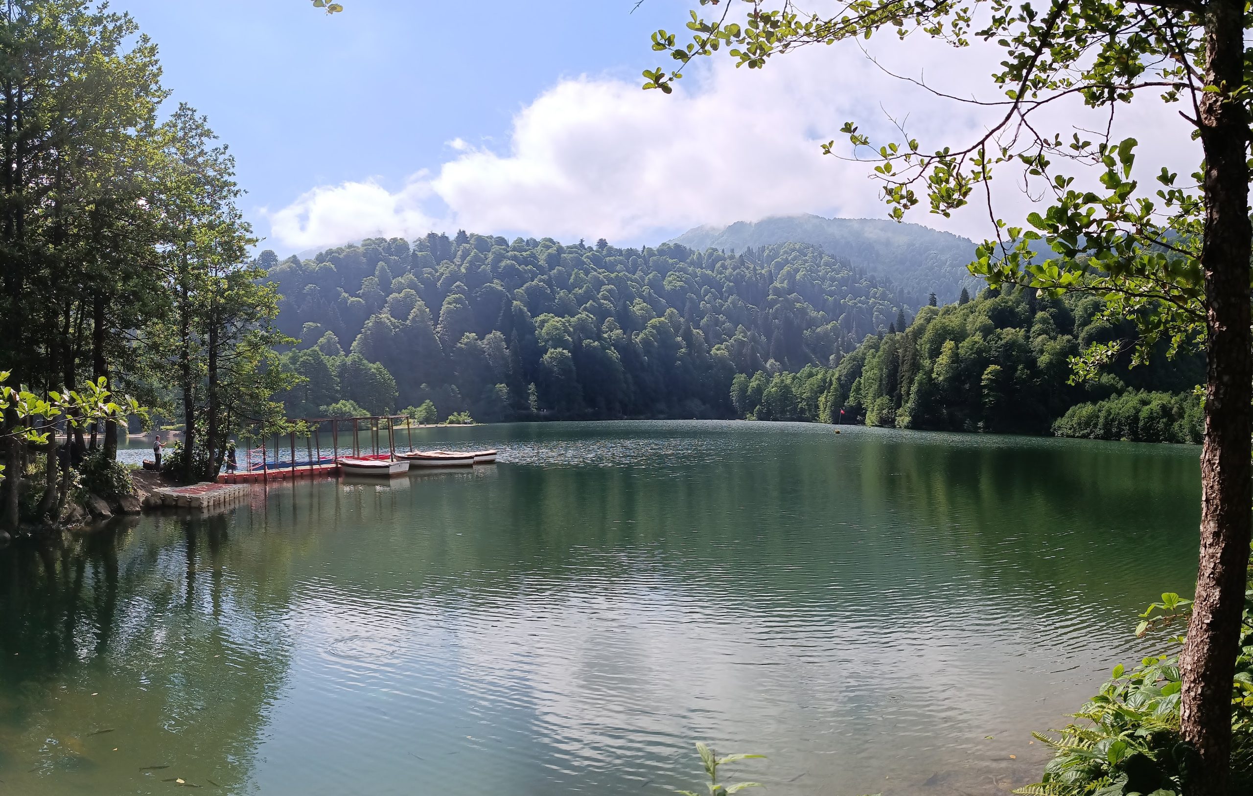
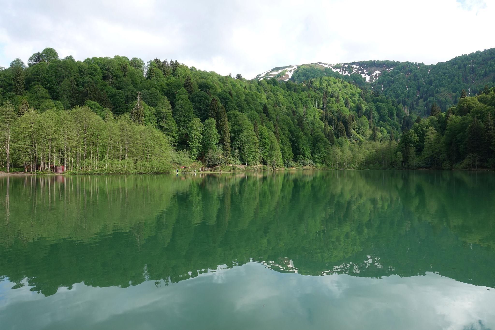
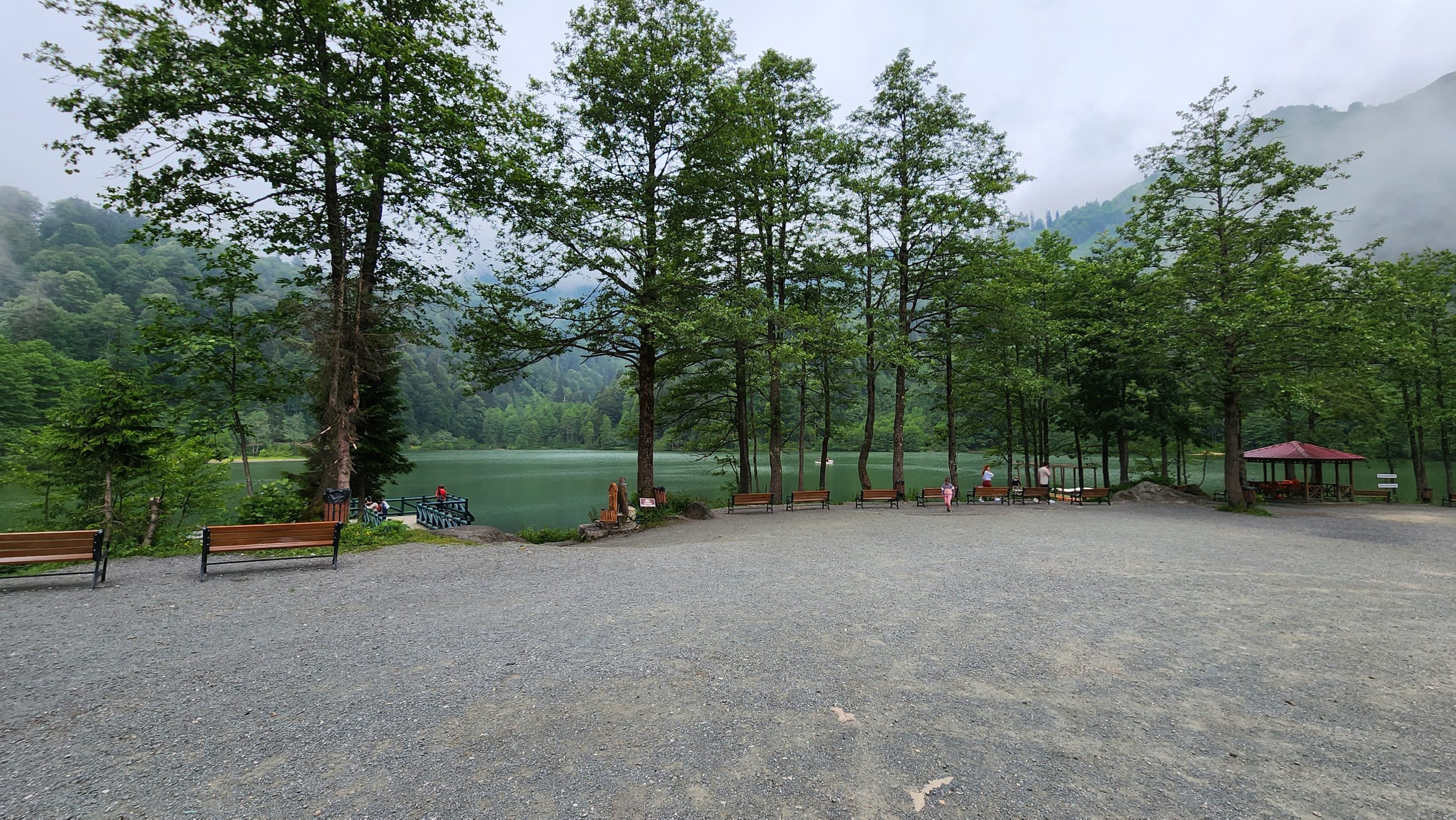
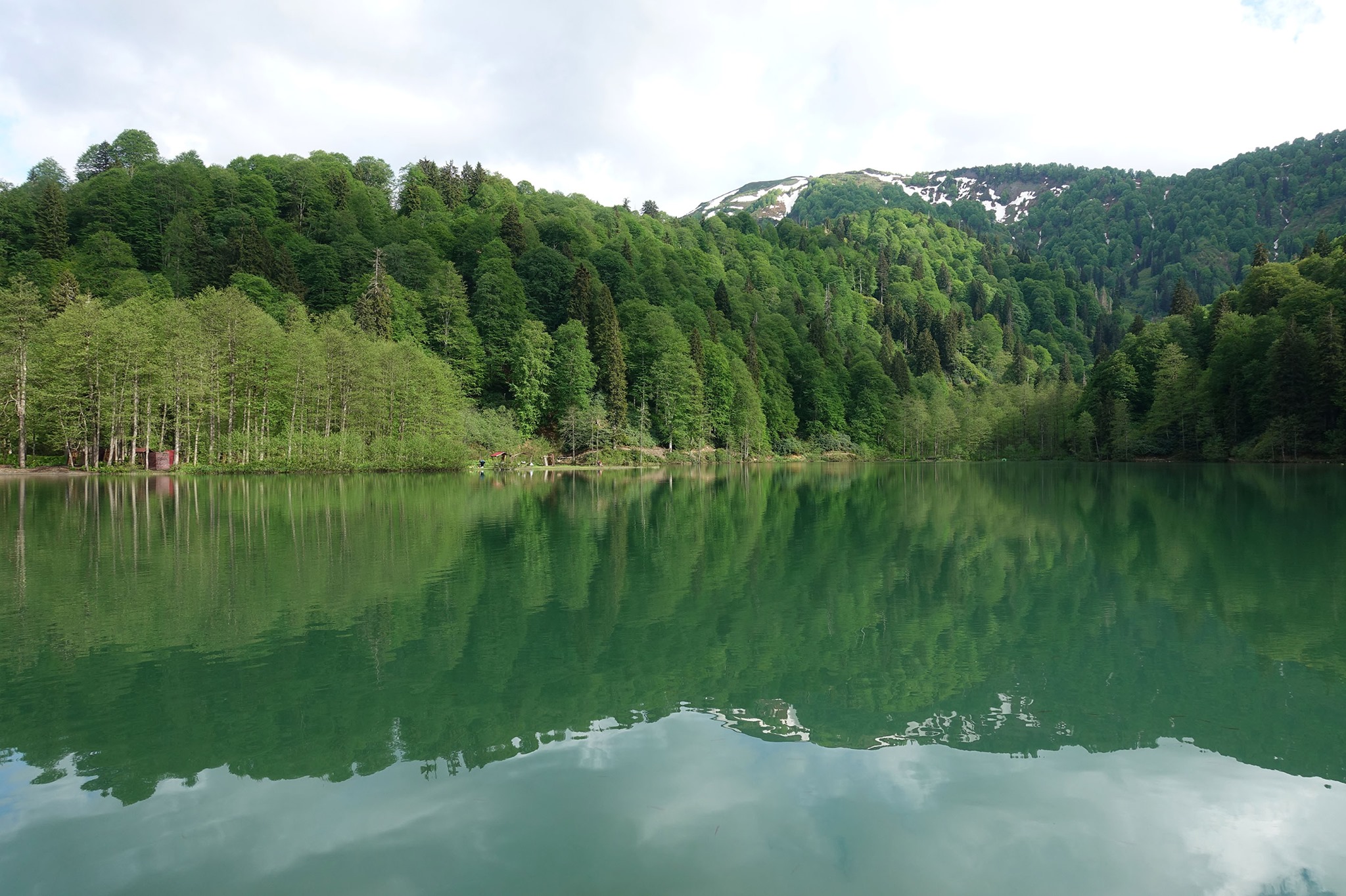
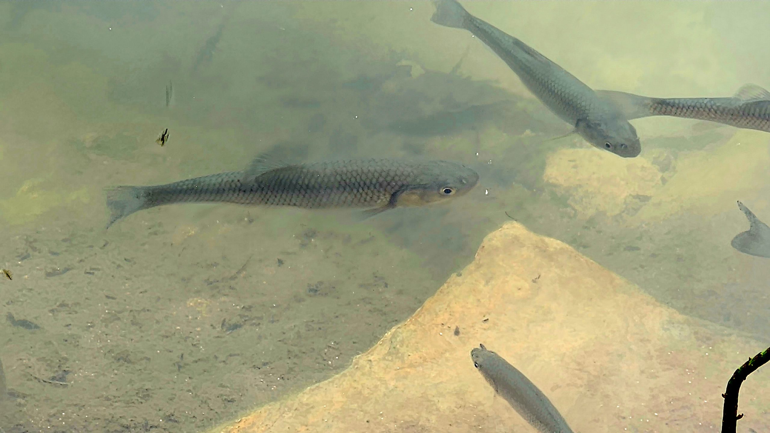
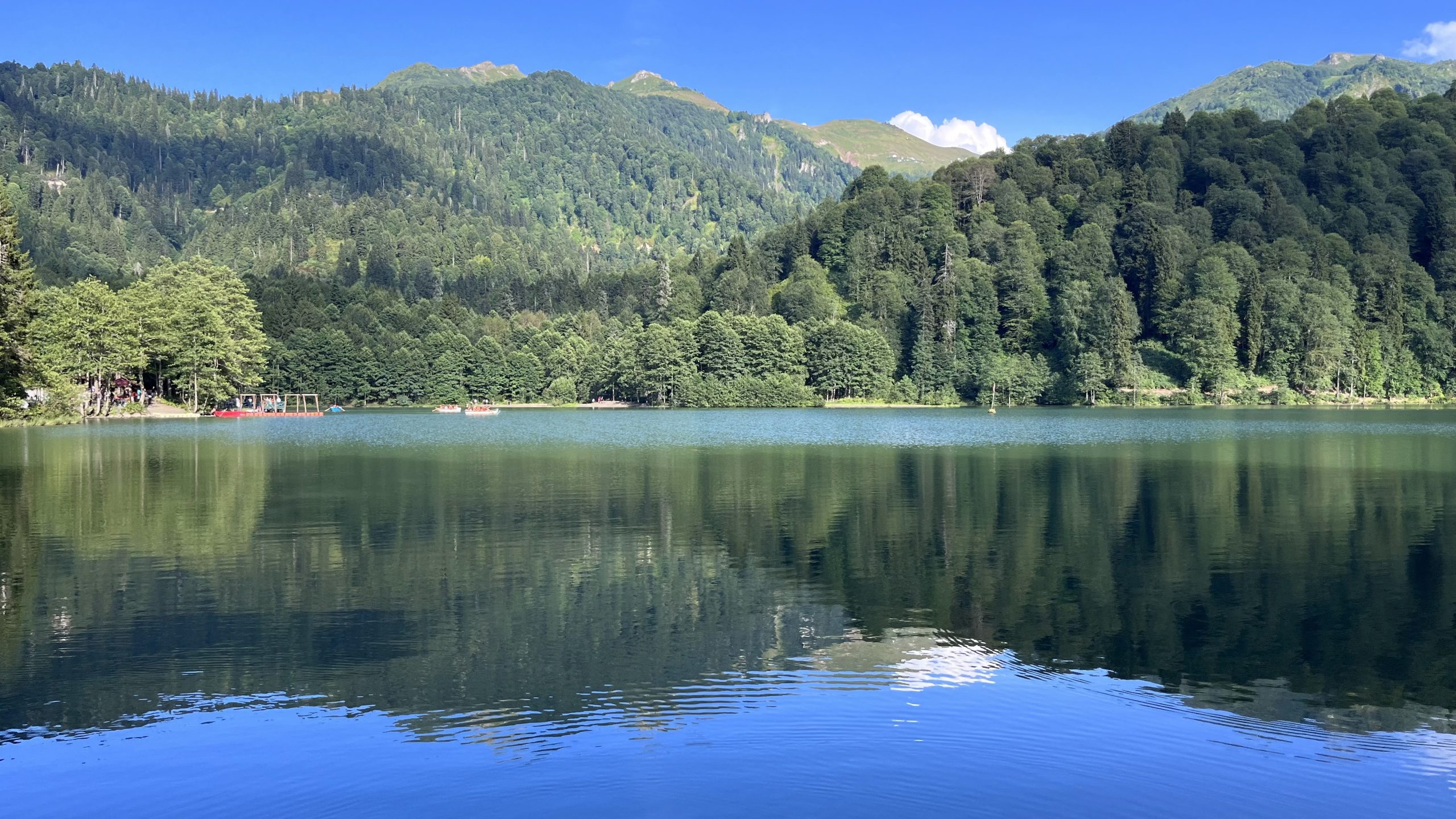
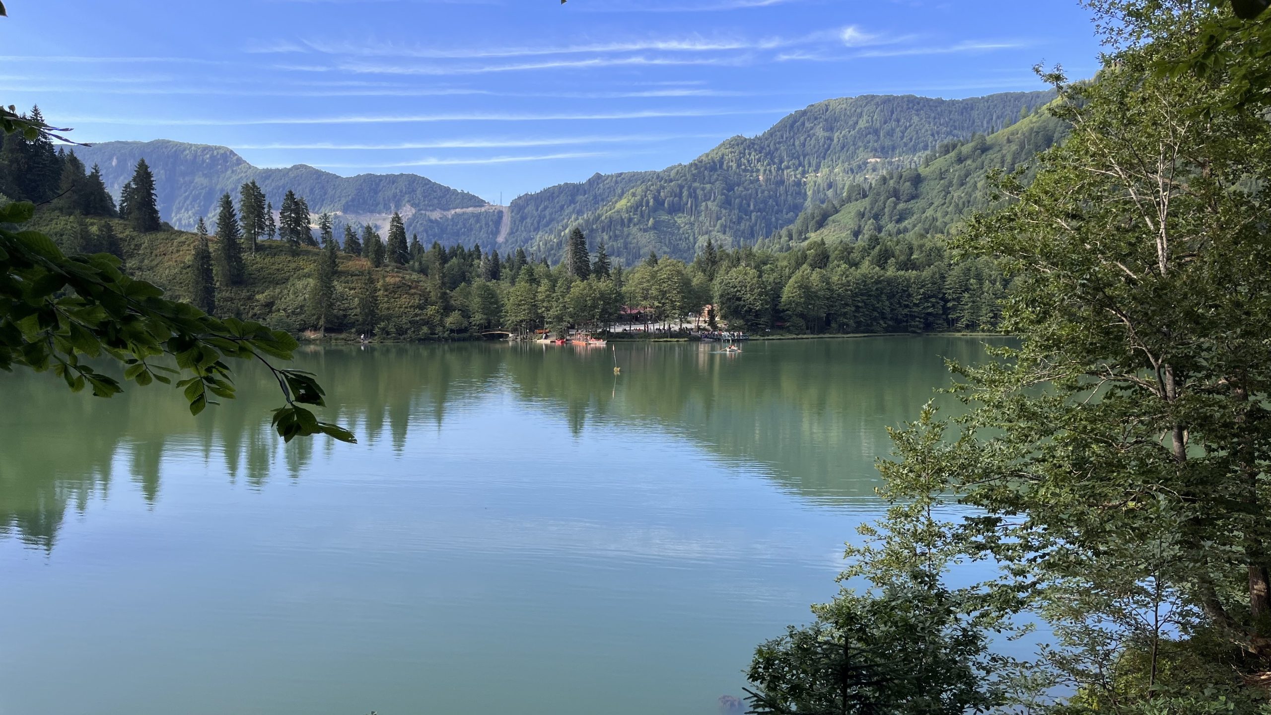
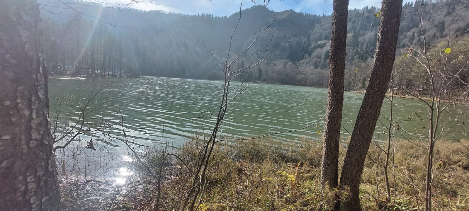
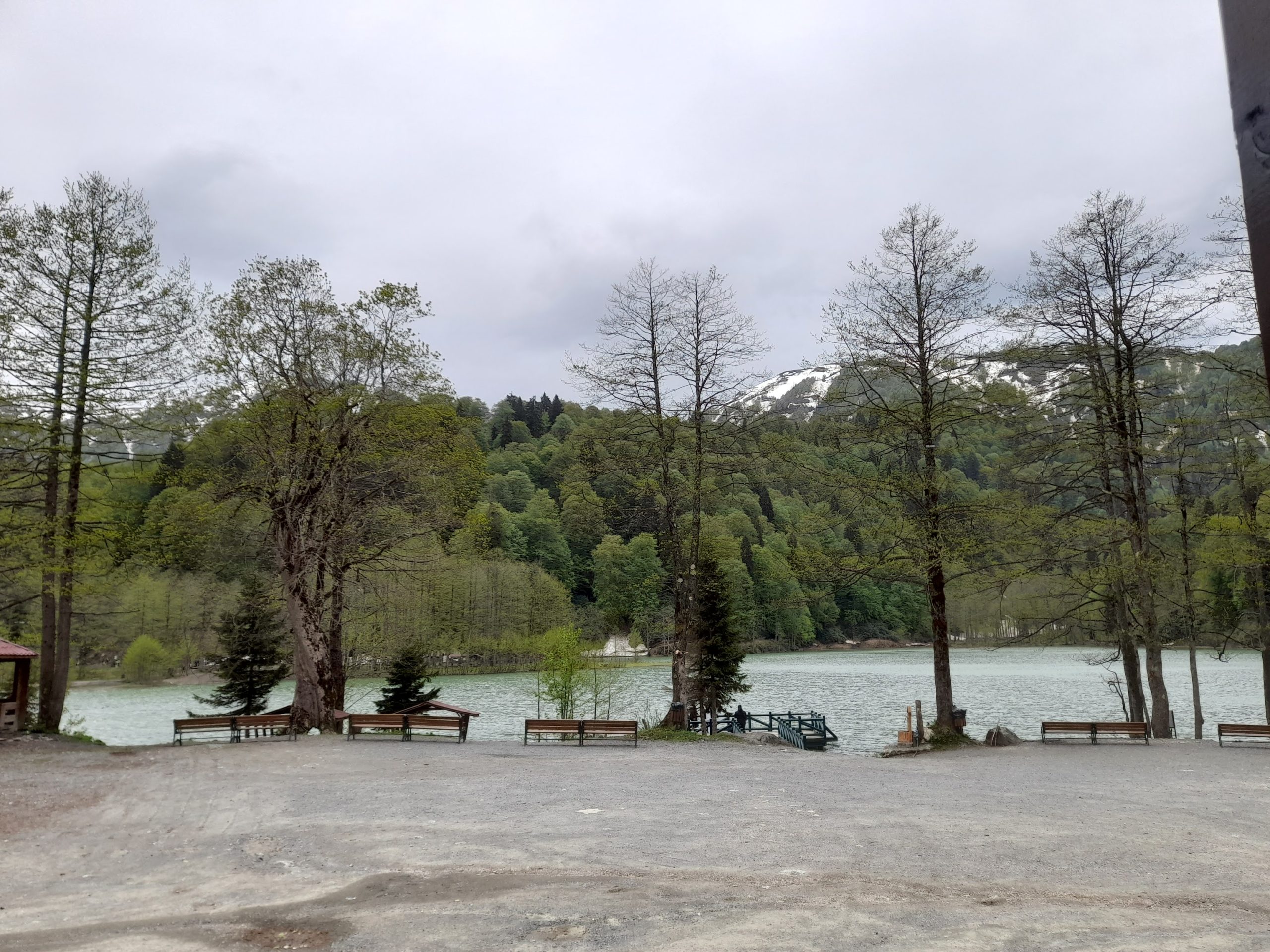
Karagöl is located in the northwest of the Karçal Mountains (3415 m), which are a continuation of the Northern Anatolian Mountains. The lake, which is located within the borders of Borcka District of Artvin province in terms of management, is 27 km away from the district center. The lake, which was formed by a landslide, is located between 1450-1480 m above sea level. Consisting of two lakes, one large and the other small, the area of Karagöl is approximately 50 000 m² and its deepest point is 25 m. The water of the lake is fresh and is connected to the external drainage by a drain. Karagöl and its surroundings were declared a Nature Park (368 ha) on 14.08.2002 due to its geological, geomorphological, flora, fauna richness and landscape features. The site has a significant potential for various tourism activities, especially eco-tourism.
Karagöl, which is 25 kilometers away from Borcka district of Artvin, is flocked by nature lovers. Those who want to go to Karagöl, which can be reached by following the dirt road except for 7 kilometers of Camili village, where the ‘Artvin Camili Rural Development Project’, one of the exemplary projects of TEMA Foundation, is implemented, encounter a hidden paradise after a difficult journey.
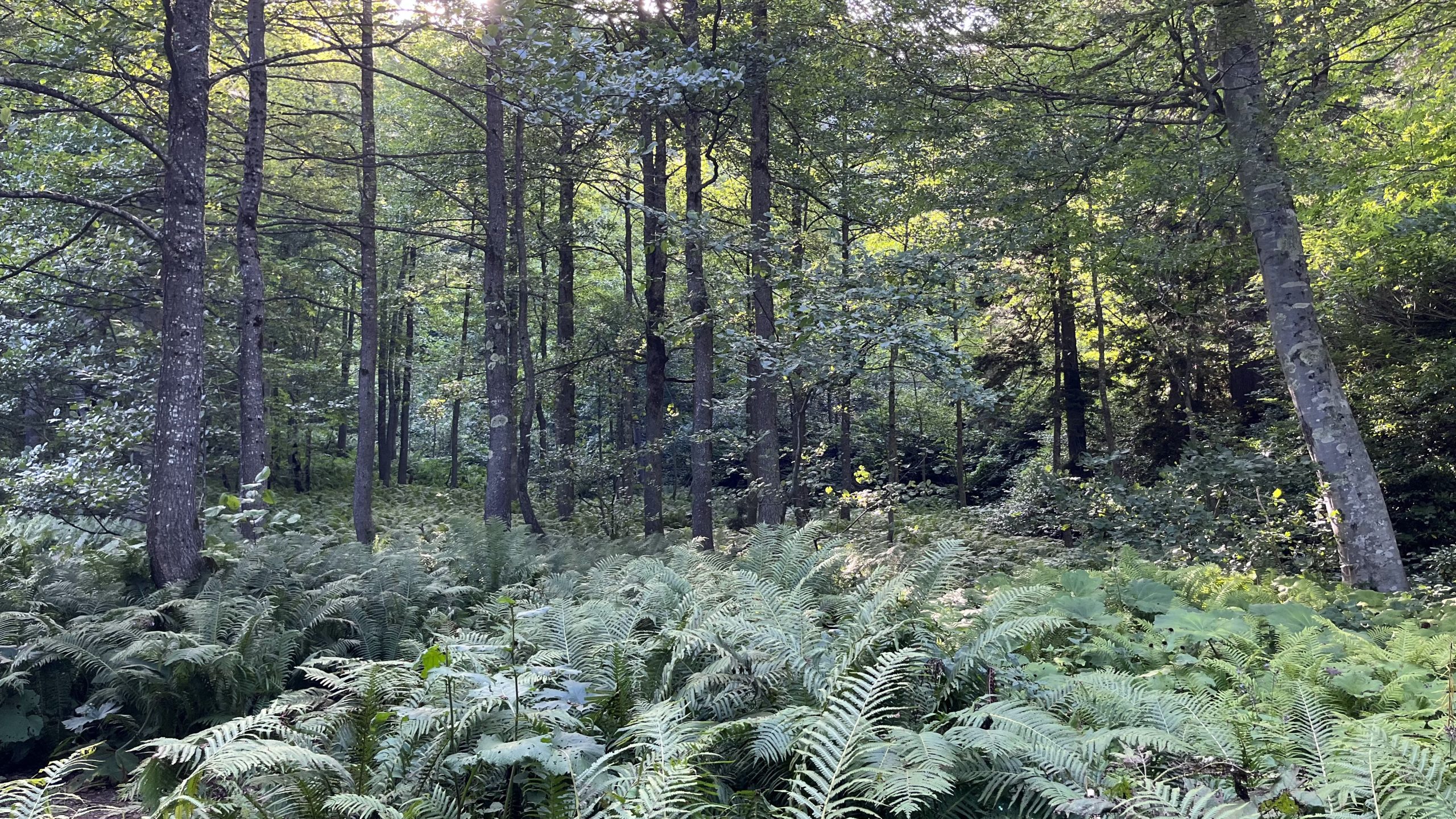
Karagöl, which is known to have been formed when a hill located near the Aralik Plateau on Karçal Mountain blocked a stream as a result of a landslide in the early 1800s, is surrounded by various old trees that can be considered monuments. The region, which has a rich flora and fauna diversity, attracts the attention of nature lovers despite the difficulty of transportation.
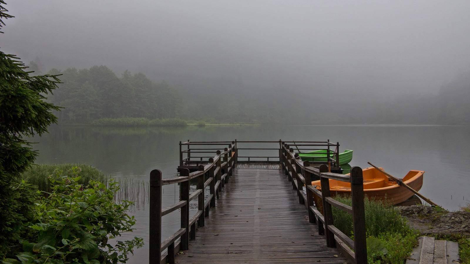
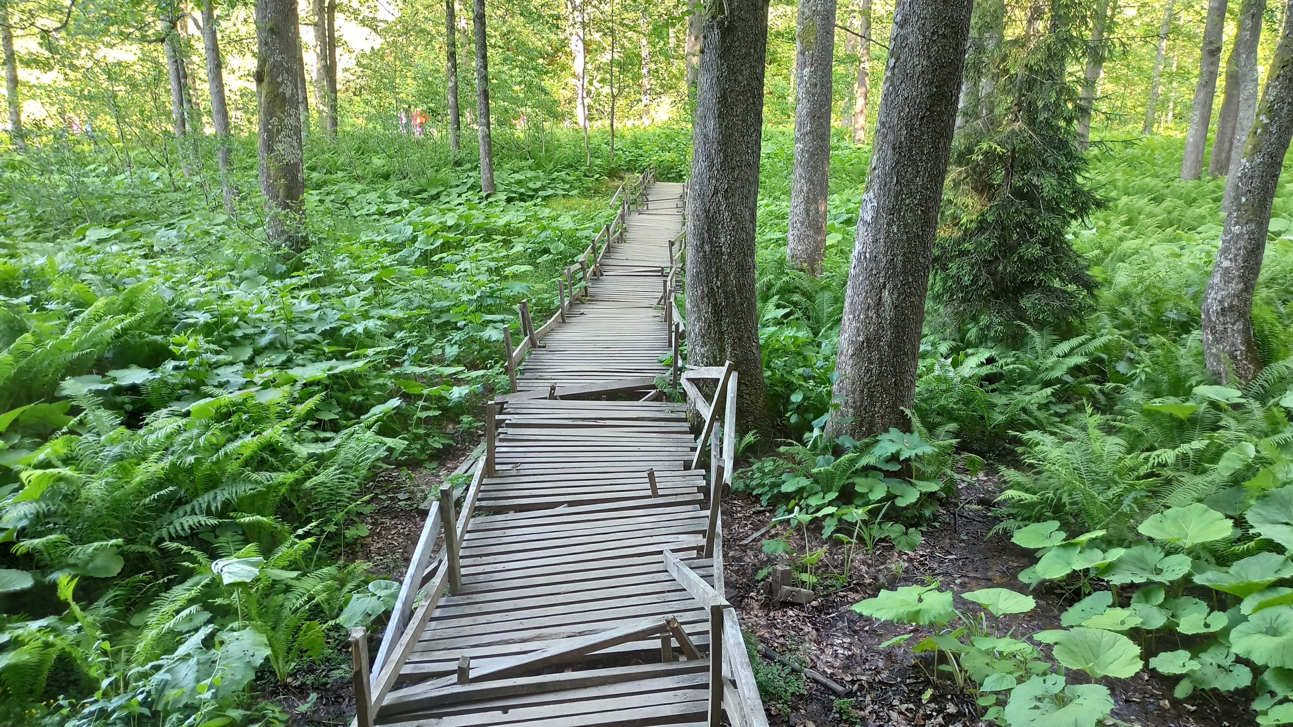
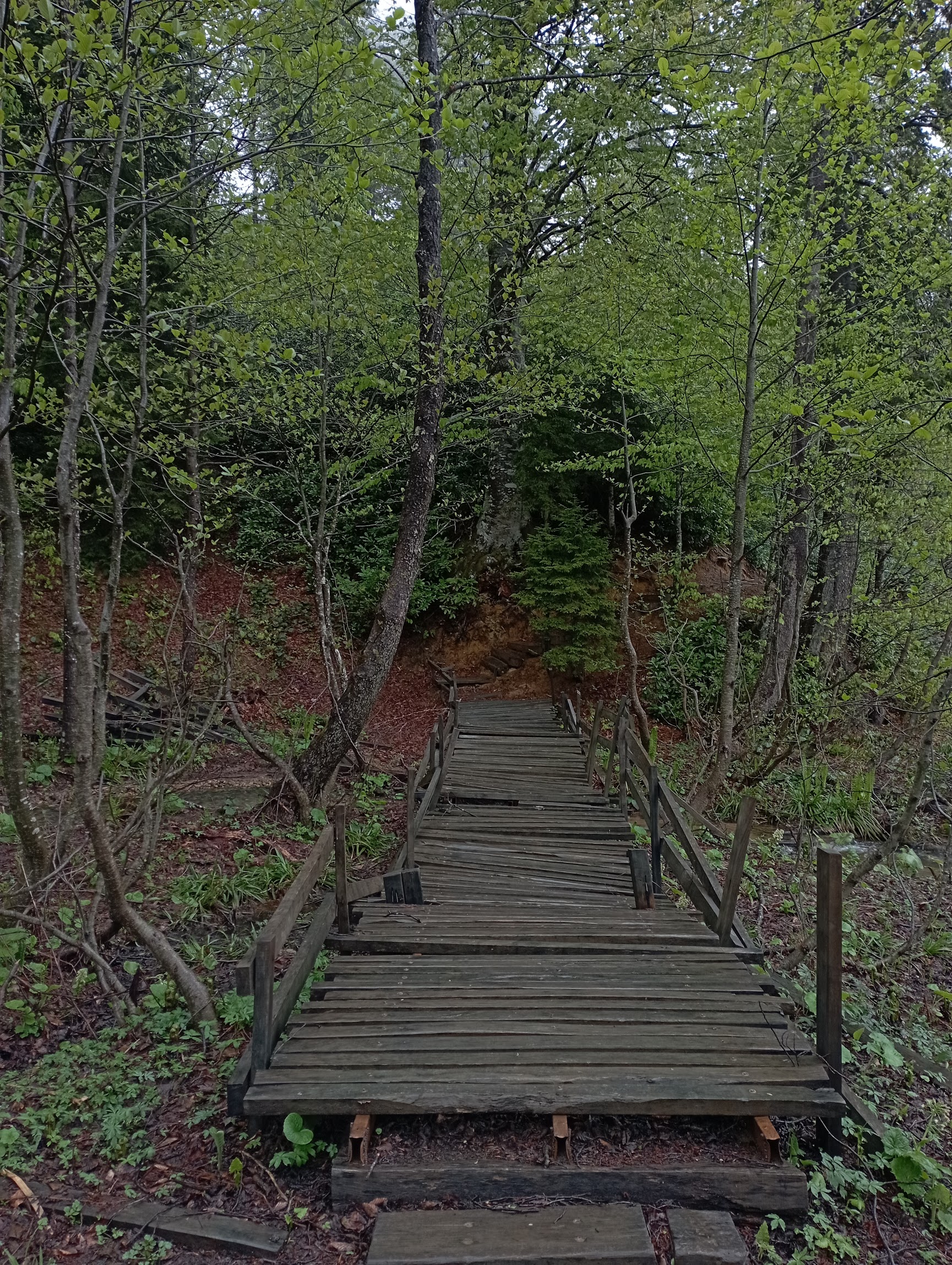
A peaceful nature park with its lake offering swimming and boating opportunities as well as hiking trails.


